Overview
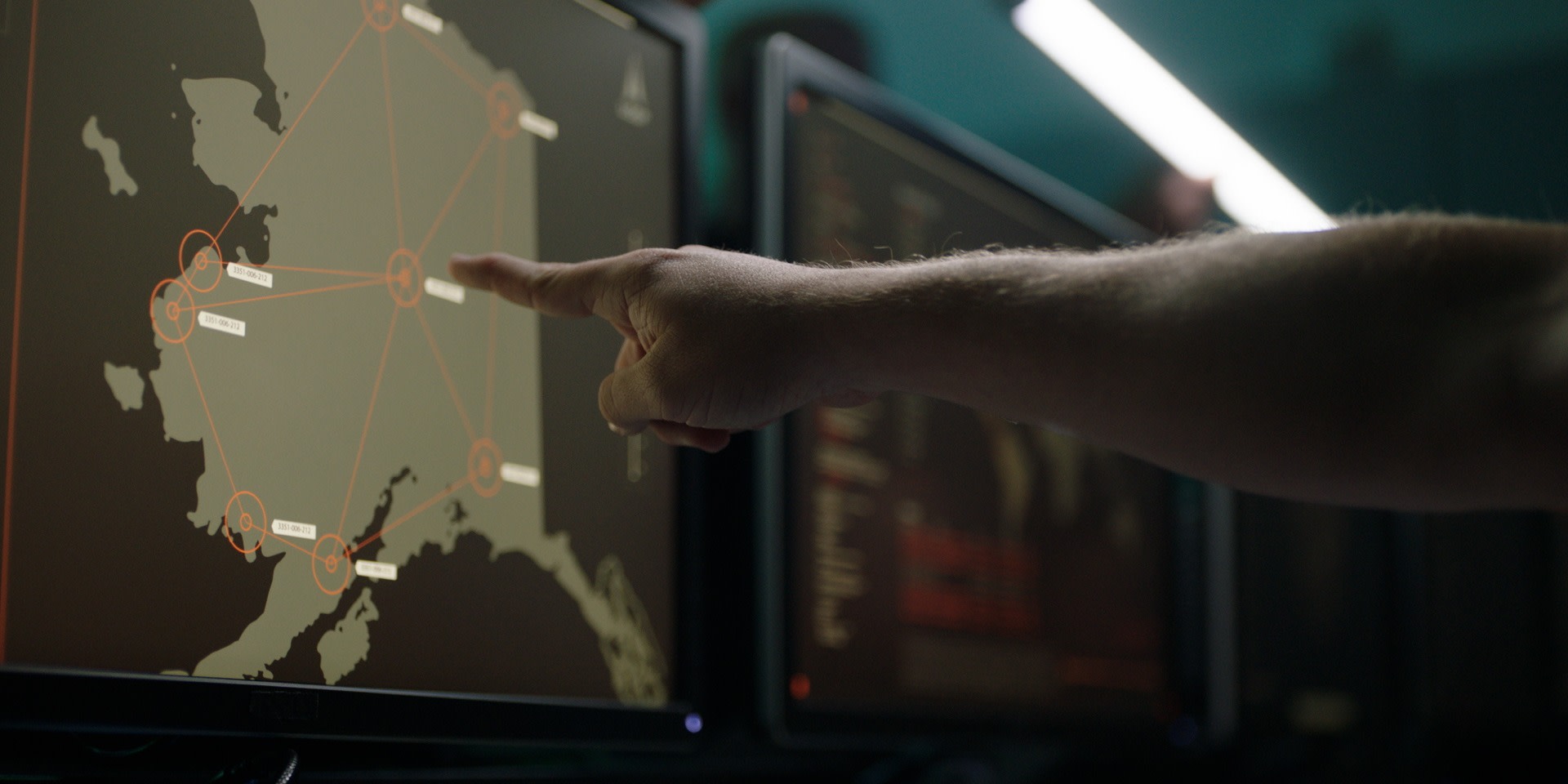
Some of our most critical intelligence requires spotting miniscule details in aerial imagery. Responsible for analyzing imagery from satellites, remotely driven vehicles and more, Geospatial Intelligence specialists identify unusual activity and possible threats. They manage and perform a wide range of activities to exploit, develop and disseminate multi-sensor equipment to achieve commander objectives.
Career Categories
Engineering
Intelligence
Career Duties
- Exploit and analyze multi-sensor imagery and geospatial data
- Analyze terrain and structures to determine usability and possible threats
- Utilize maps to determine location and distance from target
- Prepare and present intelligence reports
- Compile and maintain imagery and target folders
- Research and analyze multi-sensor imagery, geospatial data and products
- Perform targeting support for development and combat assessment
Qualifications
Minimum Education
- Obtain a qualifying ASVAB score: general minimum score of 66
Requirements
- Knowledge of basic and advanced imagery interpretation principles, techniques and procedures
- Normal color vision
- Meet required depth perception standards
- Successful completion of a current Single Scope Background Investigation (SSBI)
- Completion of Basic Military Training
- Must be a U.S. citizen
- Must be between the ages of 17 and 42

Training & Education
How do we transform you from a raw recruit to an expert Guardian in this field? From hands-on experience to college credit toward a degree, the path begins here.
Status Upon Completion
Enlisted Guardians will earn credits toward an Intelligence Studies and Technology associate’s degree through the Community College of the Air Force.
7.5
weeks of Basic Military Training
4.5
months at Goodfellow AFB, TX, followed by Space Warfighter ISR Formal Training at Peterson SFB, CO
